Chart Plotters - soooo CONFUSING !!

LazyCruiser

Petty Officer 2nd Class
Joined
Jun 20, 2010
Messages
123
Wow, these are complicated to sort thru. And there are waaay too many!

Can someone help me a little bit? :rolleyes:

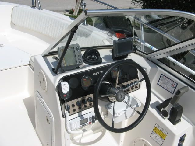
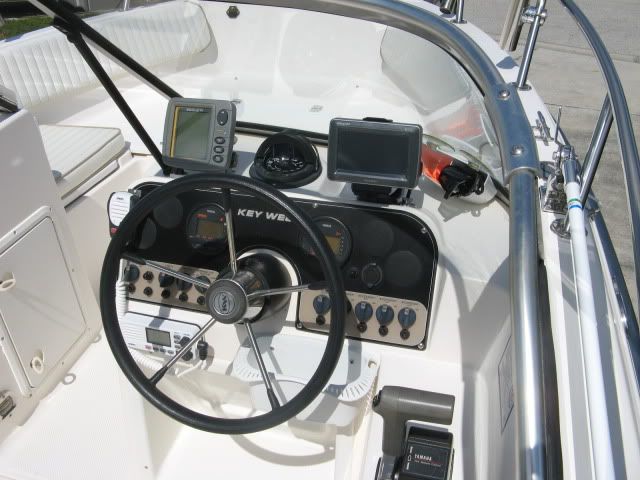
What I would like is something that won't need a transducer (is this even possible?) Has a bright screen, not huge but not tiny. Something to act like a GPS (I have a hardtop boat, and hope reception is not a problem) and to help show me where shallow water is. I think that is all that I really want/need/desire......

I sure don't need a $1200 model, maybe more like $400 is in my rapidly depleting boat budget :D And I do realize that more money will go into a map of Lake Champlain - those are PRICEY, ugh! :(

Can anyone steer me in the right direction,,,,even just a nudge?

As always - thanks in advance
 

BaileysBoat

Senior Chief Petty Officer
Joined
Sep 29, 2008
Messages
716
Re: Chart Plotters - soooo CONFUSING !!

Going to want a unit with a remote GPS antenna. Going to need a transducer for depth. Suggest a color unit. I have a Humminbird 7 series and like it fine.
 

Bifflefan

Commander
Joined
May 27, 2009
Messages
2,933
Re: Chart Plotters - soooo CONFUSING !!

Humminbird 581i combo.

No color save a couple hundred there and i dont need it.
Bigger screen, 5"
GPS with everything you need, available maps for SD card slot. They show the depth contures. Can take that or leave it.
Fishfinder, with all the cool stuff. Transducer included.
Dual beam sonar, only need the 20 deg anyway
And the best for last.......$349.00.

I looked at tons of them, I found nothing better for the money.
 

xeddog

Petty Officer 2nd Class
Joined
Oct 23, 2009
Messages
182
Re: Chart Plotters - soooo CONFUSING !!

I was just looking at the Garmin Muvi 500 and 550. You can load street maps for driving, and lake maps for boating. They are pretty small but might do what you want. The lake maps will show depth contours (I think), but you can't rely on them 100%. Crap haps ya know.

I have been using the chart plotting capabilities of my Humminbird 788ci and so far the Navionics maps have been fairly accurate. I have been looking into the Garmin for the car, and as a backup for the boat.

Wayne
 

wildspeed

Petty Officer 2nd Class
Joined
Oct 13, 2005
Messages
177
Re: Chart Plotters - soooo CONFUSING !!

I just installed a garmin 640 on my KW 2020DC ( 600$ factory refurbished)
I have a separate (older) fishfinder and didn't need/want the option on the chartplotter as it make the viewscreen very little when split.(will upgrade to nmea compatible unit soon)

So far I'm pretty happy with my decision, many configurations possible and the touch screen make it easy to use.

The only drawback noticed is sometime visibilty of the screen when the sun hit straight on it, just ordered a sunshade who should resolve the problem

IMG_0354.jpg


IMG_0355.jpg
 
Top