toneeees
Administrator
- Joined
- Mar 15, 2011
- Messages
- 3,024
Shelburne to Yarmouth, Nova Scotia in very thick fog. We awoke to heavy fog and an east wind, meaning the seas would be at least somewhat heavy. Since John and Sue Dietrich had spent the night with us on the boat, they had a car with them and needed to get back to Halifax by later in the morning. It was decided that John, Sue and Cari would drive the 1 hour to Yarmouth, our next and last port in Nova Scotia, and I would take the boat around the 85 mile trip by sea to Yarmouth. Cari would be dropped off in Yarmouth and do some laundry while waiting for me to get there with the boat. The plan worked well.
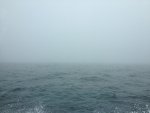
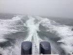
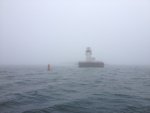
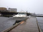
I headed west southwest along the NS coast from Shelburne to the southwestern most tip of Nova Scotia where I rounded Cape Sable Island and headed north toward Tusket Islands, on the east side of the Seal and Mud Islands. Once north of Mud Island I turned west and then north toward the mouth of Yarmouth Harbor, a 4 mile narrow inlet with the town of Yarmouth at the head of the long narrow bay. The tidal flow and currents mixed with the wind-made waves produced quite a ride for about an hour (going at 25-26 mph) until I entered the outer Yarmouth harbor. Doing all of this in a fog that offered less than a quarter mile visibility made it more challenging. But using the radar, detailed GPS mapping and depth finder made an impossible task reasonable and very doable. I take my hat off to all those seamen who for centuries navigated these, or any such waters, with only the wind, a somewhat accurate at best chart and a compass.
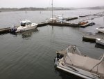
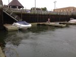
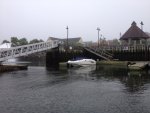
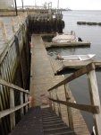
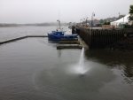
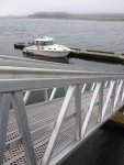


I headed west southwest along the NS coast from Shelburne to the southwestern most tip of Nova Scotia where I rounded Cape Sable Island and headed north toward Tusket Islands, on the east side of the Seal and Mud Islands. Once north of Mud Island I turned west and then north toward the mouth of Yarmouth Harbor, a 4 mile narrow inlet with the town of Yarmouth at the head of the long narrow bay. The tidal flow and currents mixed with the wind-made waves produced quite a ride for about an hour (going at 25-26 mph) until I entered the outer Yarmouth harbor. Doing all of this in a fog that offered less than a quarter mile visibility made it more challenging. But using the radar, detailed GPS mapping and depth finder made an impossible task reasonable and very doable. I take my hat off to all those seamen who for centuries navigated these, or any such waters, with only the wind, a somewhat accurate at best chart and a compass.


