BWR1953
Admiral
- Joined
- Jan 23, 2009
- Messages
- 6,504
Back in 2006, when I was living in Tampa, a co-worker took me out "about 12 miles" in the Gulf to go fishing. And we had great success!
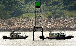
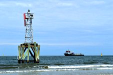
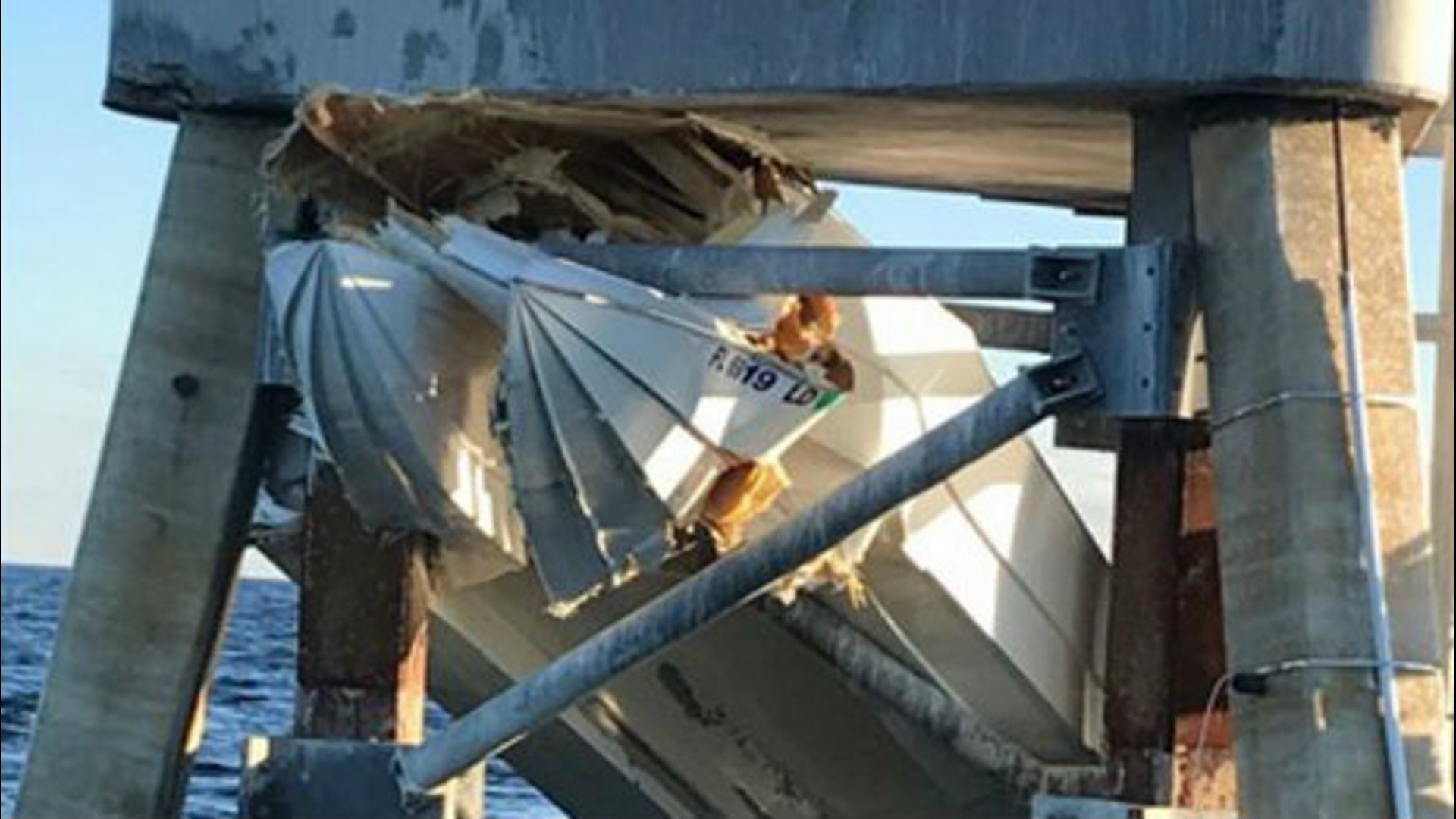
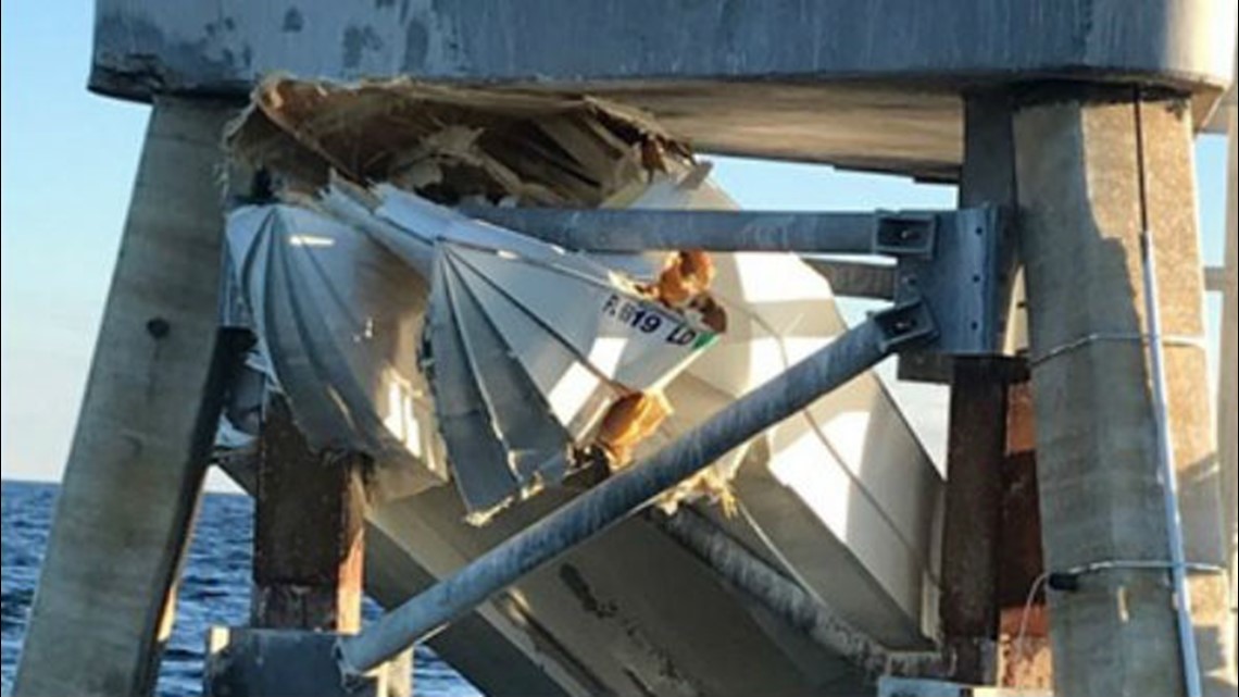
I remember that the location had a very tall, fixed type channel marker there and the water was only 14 feet deep. I'd like to find that marker so that I can go back there. The marker was West of Hudson Beach, FL.
I've downloaded nautical charts onto Google Earth, but the links are broken, so I can't find anything.
I've been trying other software and websites, but no joy so far.
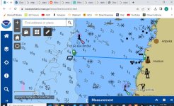
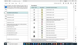
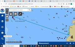
The best I've found so far is at NOAA Chart Display Services (NCDS) but I haven't been able to measure distance with that tool. And I don't know the nautical symbols either.
A little help?
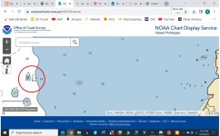
I did find this, but have no clue.
The red circle shows some kind of nav marker and the water depth is about right.


